Tag: savage river state forest
Savage River State Forest
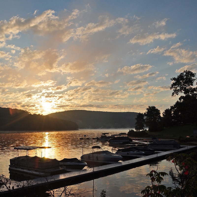
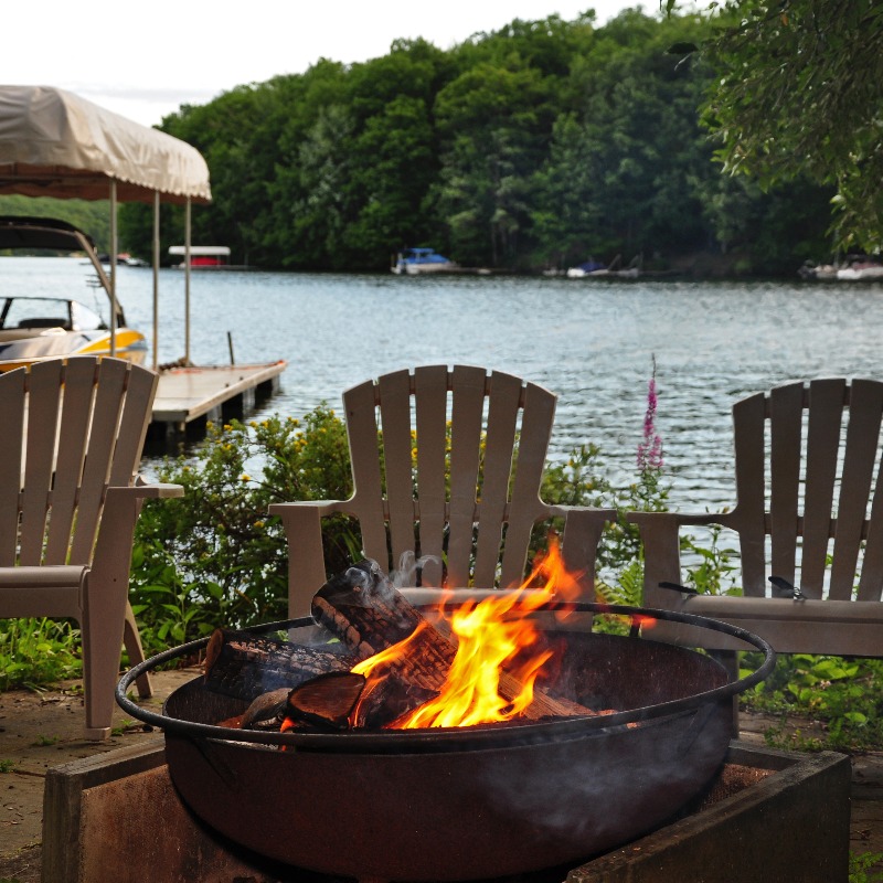
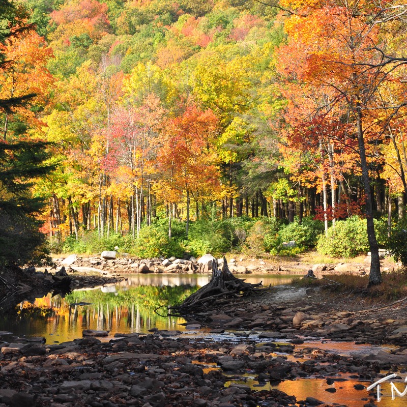
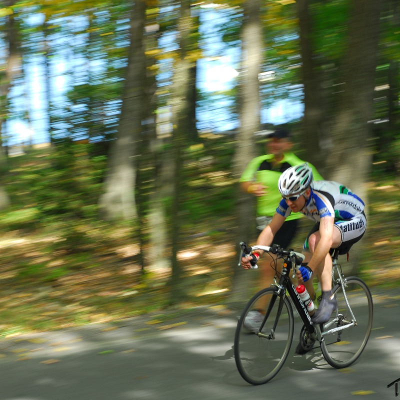
Savage River State Forest is the largest state forest in the state of Maryland! With 54,000 acres of classified northern hardwood forest, there is plenty to do.
Whether it is biking, camping, canoeing, or hiking, there is always something to do.
You can even bring your pets, as long as they are on a leash!
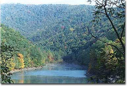
For more information, click on the photo or call 301-895-5759.
DNR picks Savage River State Forest trail for off-road vehicle use
For the Cumberland Times-News
CUMBERLAND — The Maryland Department of Natural Resources has selected only one of the three off-road vehicle trails proposed for state-owned lands in Western Maryland. St. John’s Rock in Garrett County’s Savage River State Forest was the single property selected for ORV use based on gathered during the recent public input period.
“We are thankful to the citizens who took the time to share their input through the public process both at the meetings and through our online system,” said DNR Secretary Joe Gill. “This is a great example of the department working with our professionals in the field to craft sound proposals and using public input to help guide the ultimate outcome. We also recognize the great work of the ORV Stakeholder Workgroup in helping lead us to this proposal phase and promise to continue coordinating with them to find alternative locations for this type of recreation.”
Ecologists and trail experts will work to establish paths and boundaries for ORV use to develop a system for St. John’s Rock that will have minimal impact on surrounding natural resources, DNR said. The system, slated for completion in the summer of 2014, will be monitored and its regulations enforced to ensure ecological best management practices.
“Our trails team is looking forward to implementing the new paradigm of ORV management on St. John’s Rock,” said John Wilson, manager of the Statewide Trails Development Office. “Working with our peers in land management, enforcement and information technology, we are confident that this trail, and all future ORV trails, can be well-regulated, safe and sustainable. We are committed to that end and look forward to demonstrating our plans for success.”
The other two proposals — Sideling Hill North and South trails, within the Woodmont Natural Resources Management Area near Hancock — have been withdrawn and removed from further consideration as ORV trails.
The former ORV trail at Green Ridge State Forest remains closed.
DNR will continue to fortify efforts to develop public/private partnerships on potential private land ORV trails, and further evaluate opportunities to acquire access to other private land locations for multiuse recreational facilities.
A number of ORV trails developed within the state forests in the mid 1980s had to be closed in 2011, as some of the activity began to threaten environmentally sensitive areas. With only a few small ORV trails still open, DNR began a comprehensive two-year study to assess its landholdings and develop a plan that would incorporate these trails in a manner that would have minimal impact on sensitive natural areas.
Maryland Department of Natural Resources Proposed Off-Road Vehicle Trail System Expansion
The Maryland Department of Natural Resources (DNR) is proposing to expand its off-road vehicle (ORV) trail system. Three new ORV Trails are being considered: (1) one ORV Trail in Garrett County on the Savage River State Forest, in the general vicinity of St. John’s Rock-Red Dog Road, (2) two ORV Trails in Washington County, on DNR managed lands on Sideling Hill north and south.
Public Meeting
In accordance with Maryland COMAR 08.01.03.10, ORV Trail Designation Procedure and Criteria, The Department of Natural Resources (DNR) will be holding a public meeting on September 4, 2013 at the New Germany State Park Lake House from 7:00-9:00 p.m. to discuss the management and designation of these new ORV trails. This meeting is a preliminary review to gather public input prior to final designation.
Submit
Public will be taken at the September 4th meeting following a presentation by DNR staff.
will also be received via email or hardcopy through October 4, 2013.
may be sent to:
Jack Perdue
Maryland DNR
Tawes State Office Building, E-1
580 Taylor Avenue
Annapolis, MD 21401Or by email to: [email protected]
Introduction
The Maryland Department of Natural Resources is responsible for the management of approximately 450,000 acres of public land distributed throughout the State. These lands have traditionally been used for a wide array of recreational activities including hiking, camping, fishing, hunting, boating and nature appreciation. However, in recent times, the Department has seen an increasing demand for diversified activities such as geocache, mountain biking and off road vehicle (ORV) trails. Of particular interest is the request for designated ORV trails. In the mid-1980s a number of ORV trails were developed within the western region’s State Forests. Three trails were particularly popular with the general public and experienced an ever-increasing demand. Unfortunately, some of these trails were located in environmentally sensitive areas and had to be closed in 2011. The Green Ridge State Forest ORV trail, Chandler trail and Poplar Lick trail included approximately 36 miles of ORV trail and remain closed today. As a result, the Department undertook a comprehensive review of its various landholdings to assess the probability of developing other sustainable areas for ORV trail development.
Criteria for Assessing Suitability for ORV Trails
The three sites were identified as the result of a two-year process of systematically reviewing all DNR lands for suitable ORV locations. In addition, the Department participated with an ORV stakeholder workgroup in identifying potential private land locations for other ORV trails. The most highly ranked sites were then selected for closer review by an internal team of DNR resource managers.
A Geographic Information Systems (GIS) model was used to filter and select potentially suitable locations to host new ORV trails. Areas were rated based on soil suitability, avoidance of Maryland Historical Trust sites, human populations, conservation areas, and sensitive watersheds.
ORV Proposal Descriptions
The descriptions below describe the trail locations in general. Additional details for these trails will be determined during the design and construction process. Architectural and engineering firms will be solicited for the final design and construction of these trails.